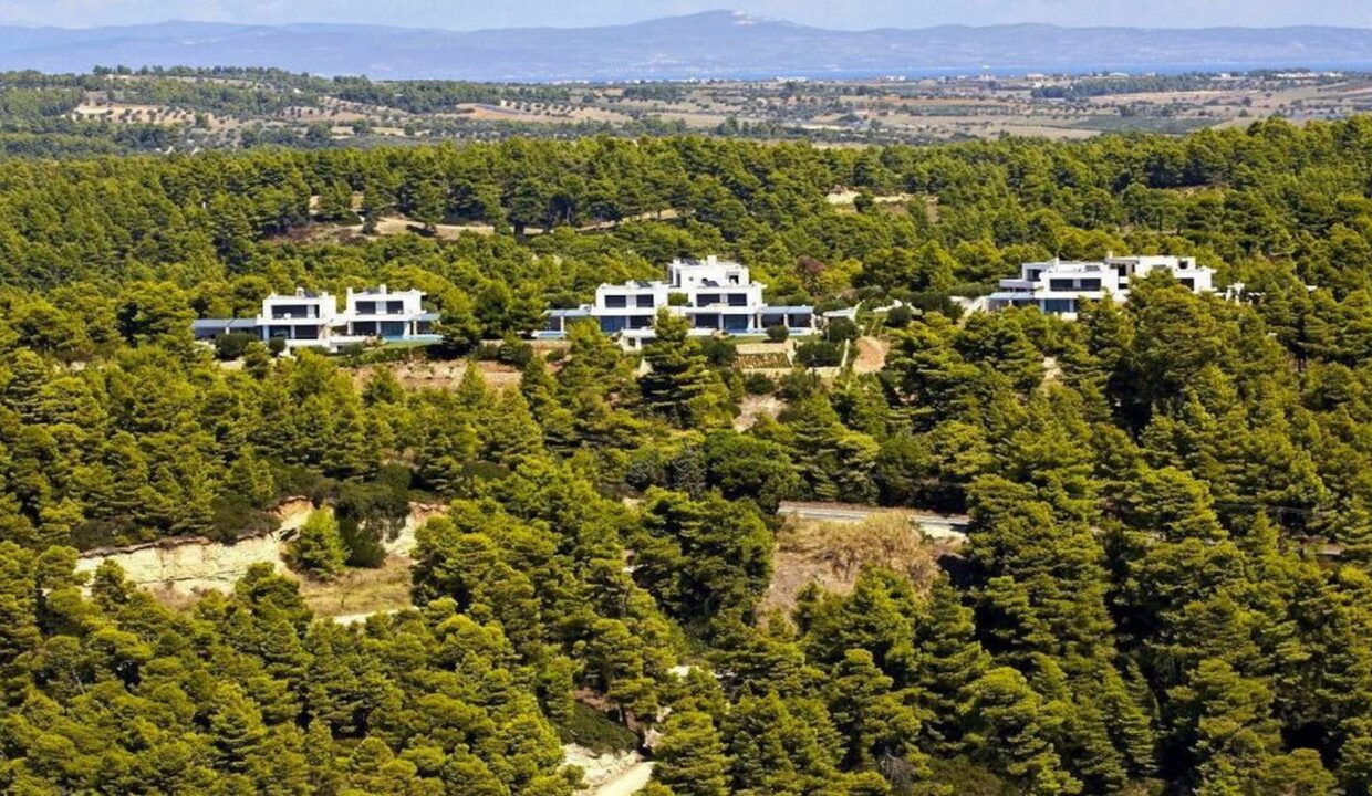
How will 1 million homeowners with buildings in forests and forest areas escape demolition?
One – at least – one million homeowners with buildings in forests and wooded areas have one last chance to save their homes.
This is because they are given the opportunity (with a relevant Joint Ministerial Decision signed by the Deputy Minister of Environment Georgios Amyras and the Deputy Minister of Digital Governance Georgios Stylios) to enter a special protection regime. In order to do this, they must voluntarily submit an application for registration of their property on the electronic platform of the Land Registry and pay an electronic fee of 250 euros.
“We are creating an electronic platform in which the owners, even those who have corrected an obvious error in the forest map, have the opportunity to declare their residence. It is the last opportunity they have”, points out speaking to “NEA” the Deputy Minister of Environment, George Amyras.
Excluded
It is clarified that with the approval of the application, the owners achieve an exemption from the demolition, deletion of imputed fines, “freezing” of the new fines but also offsetting, in cases of settled arbitrarily.
And in the event that during the final outcome of the forest map their property is excluded or it is confirmed that it is not forest, then and only then can they succeed in settling it and returning the fees and fines they have paid.
“With the Joint Ministerial Decision that we signed with the Deputy Minister of Digital Government, Georgios Stylios, he clarifies the landscape for houses located in forest areas, an important issue that concerns thousands of our fellow citizens and has remained pending for decades,” adds the Deputy Minister of Environment.
In essence, a solution is being sought through forest maps. This is because (as indicated in the relevant Government Gazette / sheet number 3253) the right to submit an application have “those who have and those who have been interested in submitting a request for correction of a manifest error of the forest map, objections, application for annulment or any other administrative or legal remedy, by which they dispute that their property is of a forest nature”.
The cadastre
The application is submitted through the online platform of the Land Registry. Here, it should be clarified that in the case that the posted forest map concerns an area in which the cadastre has been completed and the Land Registry operates, it will be possible with the registration of the National Land Registry Code Number (NLRCN) of the plot, issuance of a “special extract” that will include the plot, according to elements of the cadastral diagram, the elements of which will be used to locate the plot and determine its coordinates.
The justified
The application includes (in pdf format) the following supporting documents: responsible statement (signed) with which the interested party declares that the submitted information is true. Engineer statement (signed) confirming the description of the house and the accompanying constructions. Where appropriate, the application for the correction of a manifest error of the forest map. Proof of payment of the electronic fee and a photocopy of the police ID/passport.
The issue of so-called housing densities concerns, as mentioned above, (at least) one million owners across the country who have a building in forests and forest areas. There are two red lines that enter, according to sources who are well aware of the issue, on the road to their settlement: the constructions should not be isolated, but should be located in residential densities and should not have been built after June 2021.
However, there is – and – one more issue. And this is the final OK from the Council of State (CoS). That is why the Ministry of Environment is making an effort to move the new planning in the spirit of the latest decisions of the CoS.
It is noted that in April 2019 the Plenary Session of the Council of State (chaired by the current President of the Republic Katerina Sakellaropoulou) ruled as an unconstitutional provision of law which excluded from the posting of forest maps the areas where residential densities have developed.
Whichever solution is chosen, according to the same sources, will exclude from the settlement the buildings located in national parks, wetlands, but also areas of the Natura 2000 network, but also buildings located in forests and forest areas that were destroyed by fire and have been declared reforestable (based on a relevant law of ’79) as well as areas with streams that have been demarcated and are within a Potential Danger Zone.
Residential densifications
Residential densities are estimated to occupy today – throughout Greece – 300,000 acres. The largest (per prefecture) are in Attica (115,873.12 acres), Corinth (42,206.58 acres), Boeotia (12,880.31 acres). The largest area of housing densities has the Municipality of Loutraki – Perachora Agioi Theodoroi (35,599.76 acres), while the smallest the Municipality of Mani (22.60 acres).
